Though I love seeing big cities when I travel – London, Budapest, Cape Town, Stockholm, Quito – there’s always something extra special about the days I get to spend out in nature. I try to plan my trips to include at least one hike, at least one day where I am not surrounded by any buildings or roads, where I can end the day dirty, sweaty, and happy. So, when the next three days in our itinerary were set to be spent in parks and nature reserves, I was more than ready to get out of the van and into the mountains.
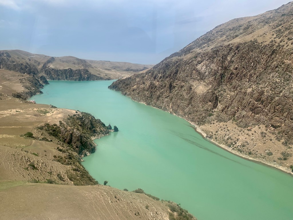
The 天山 Tian Shan (تەڭرىتاغ Tengri Tagh) mountain range stretches 1,500 miles primarily along the border between China, Kazakhstan, and Kyrgyzstan; these “Celestial Mountains” or “Heavenly Mountains” are some of Central Asia’s greatest. We were given a day to explore the 夏塔旅游区 Xiata Scenic Area and, specifically, the Xiata Ancient Trail. Xiata, which means “staircase” or “ladder” in Mongolian, is very near the border to Kazakhstan and was used as a part of the ancient Silk Road. For any who don’t know: the Silk Road was a network of trade routes connecting China with Europe and the Middle East for 1,500 years! The Han Dynasty officially opened up trade with the West in 130 B.C. and countless traders carried goods, ideas, and information along these routes until the Ottoman Empire closed off trade in 1453 A.D. Spanning about 6,436 kilometers (4,000 miles), the Silk Road brought silk, jade, porcelain, tea, and spices to the West; in exchange, the East received horses, glassware, fabric, and other manufactured goods.
Driving in to Xiata, as per usual, we bought our tickets, parked our van, and were loaded into smaller shuttle cars to take us deeper in to the park. Occasionally, we’d stop the van to get out and look at something — an interesting looking boulder, the way the river curves, a beautiful view. As a culture with so much history (truly just really hard to fathom), almost everything has some kind of significance or story attached to it. We saw the 神龟石 Sacred Turtle Stone where a turtle helped a monk cross the river, received guidance from the Buddha, and eventually attained enlightenment and ascended to heaven while his mortal body was turned into a stone to guard the beautiful valley. We saw the Waterfall-like Drift Sand: according to the legend of Monkey King Thrice Subdues the White-Bone Demon, this is the place where the White-Bone Demon was dropped. So much history. So many stories. I love it all.


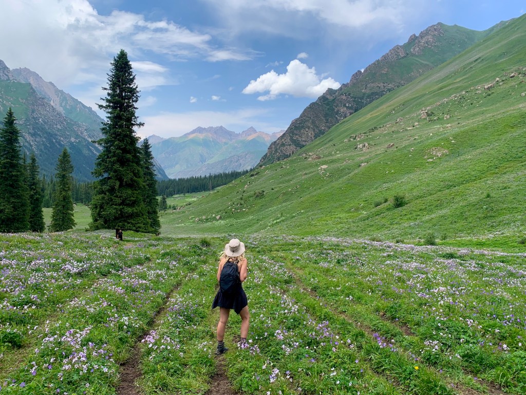
When we reached the trailhead, we were given 2 hours of free time to explore and wander around. Many of my tour mates were tired and so decided to sit and relax, but I was set on seeing more of the ancient trail. I decided to walk as far as I could in an hour, stop quickly to eat my packed lunch, then turn around and walk back. A few other people on my tour decided to join me, and off we went.
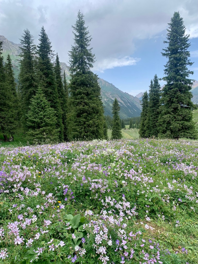
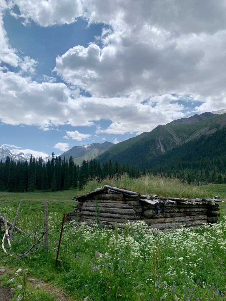
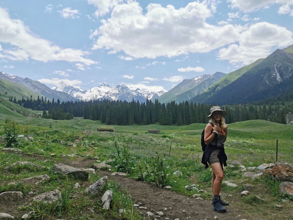
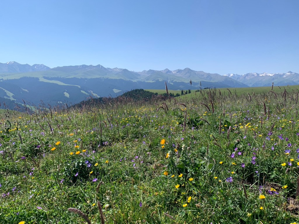
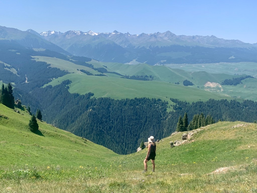
As we walked through truly gorgeous open fields of wildflowers, off in the distance we could see the snow-covered peak of the Muzart Glacier looming over us. There were (surprisingly) not very many people on the trail, especially once it started getting steeper, so it felt amazing to walk along this ancient trail, almost able to get a glimpse at what it may have been like so many years ago.

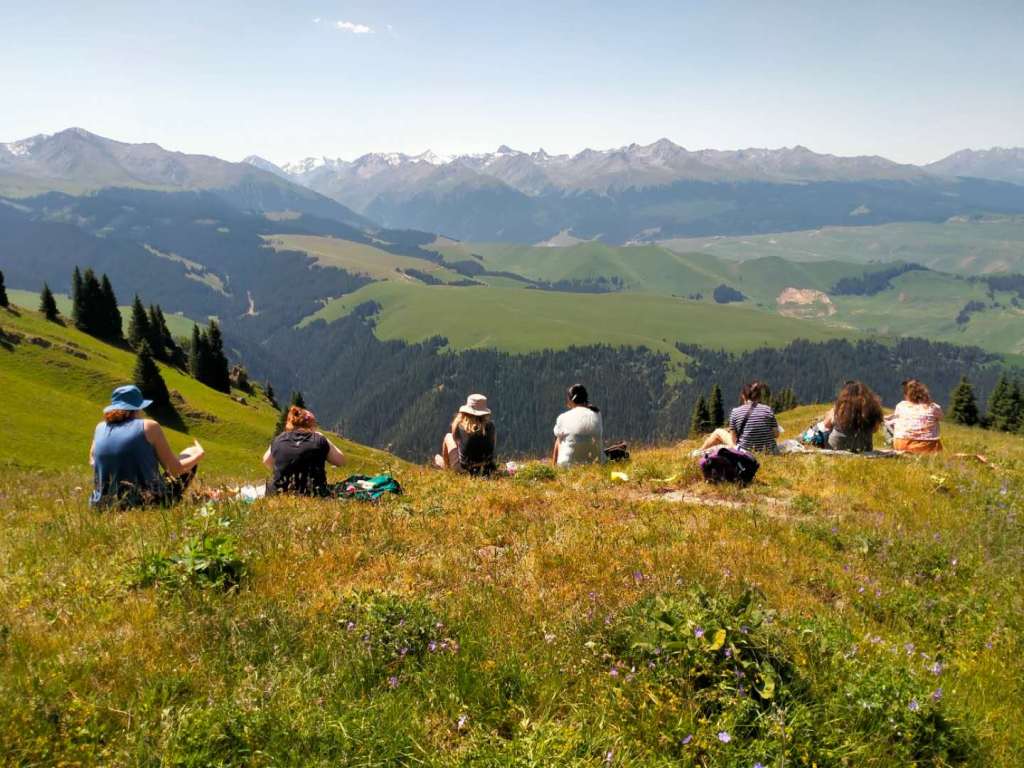
After walking for about 45 minutes, we reached an open clearing with a fantastic view of the glacier. Perfect timing, and a perfect spot for a quick picnic! We pulled out our snacks, sat down, and took in the experience.
Quick tangent: while we were eating, a few of the guys who were also hanging out up there came over and asked to take a picture with me. While this has been fairly common for me while traveling around China, I never got asked that as many times as I did in Xinjiang. Nearly every single day, every single outing, everywhere we went. For some foreigners, this can be frustrating, annoying, or invasive. Personally, especially when they ask first before taking the picture, I don’t really mind. With Xinjiang being a place that is not especially easy for foreigners to visit, especially during the last few years of the pandemic, many people may not have seen a white person in quite some time. It doesn’t hurt me to do it, and if it brings them joy, why not?
After a quick lunch, we turned around and hiked back the way we came to meet up with the rest of the group and head back to our hotel in Tekes. (And back to that fabulous Uyghur restaurant…) One nature day down, two to go…
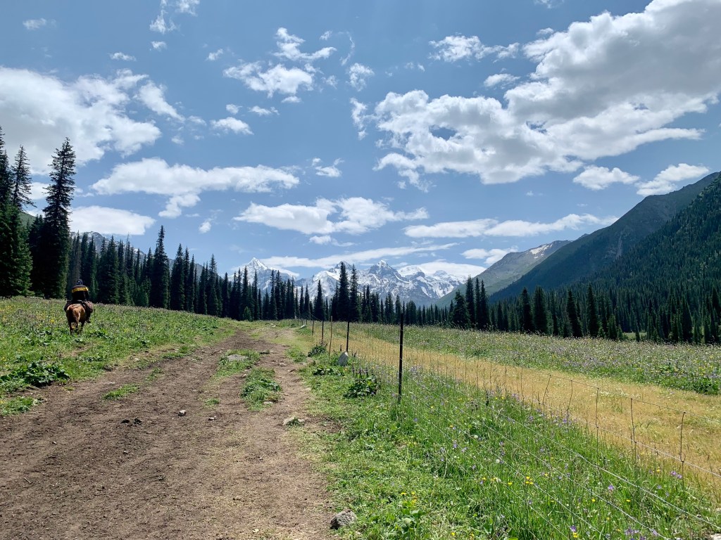
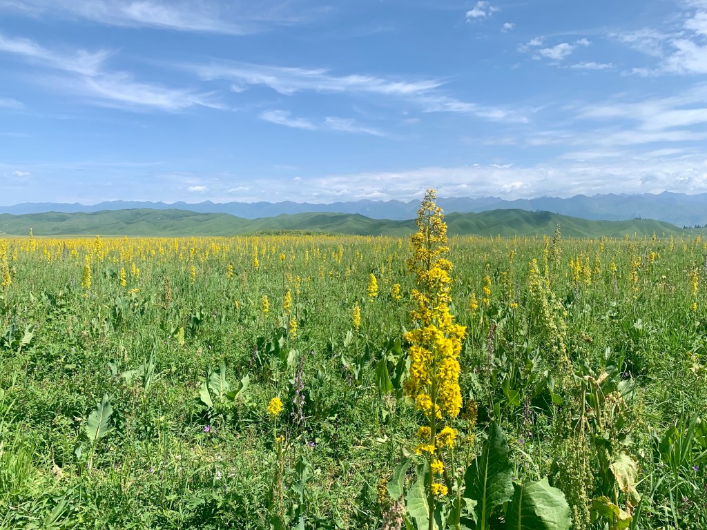
The next morning, we slapped on more sunscreen, packed our backpacks, and made our way to the expansive 喀拉峻草原 Kalajun Grassland. (Or, as my guide map said, the Xinjiang Kalajun International Ecological Tourist Area. It’s a bit of a mouthful.) Now, Kalajun (which means “black wilderness” or “dark, rich, broad grassland” in the Kazakh language) may be known as a grassland, but there is so much more then just grass: rolling hills, snow-capped mountains, forests, valleys, canyons, rivers and lakes…
We started our day exploring one of the 5 main sections of the massive park, the 东西喀拉峻草原 East-West Kalajun Grassland. As the main scenic area of the grassland, the East-West Kalajun Grassland is a beautiful, open grassland filled with flowers of every color, surrounded by mountains in the distance. Oh, and also, a giant inner tube rainbow slide. Because, China. (But I mean, yeah, I obviously did it…)

After walking around for a bit, our guide took us off the path (shhhhh) to climb over onto the edge of a valley where we were able to sit down, enjoy the sun, and eat a picnic lunch. We each had some food that we had packed, and he had bought a melon for us all to split. It may be one of the best picnics I’ve ever had — fresh melon, warm sunshine, a beautiful view. (Admittedly, I did finish eating quickly so I could go off on my own and hike down into a valley a bit while everyone else finished eating. I can’t help it. There were rocks. I wanted to climb them.)
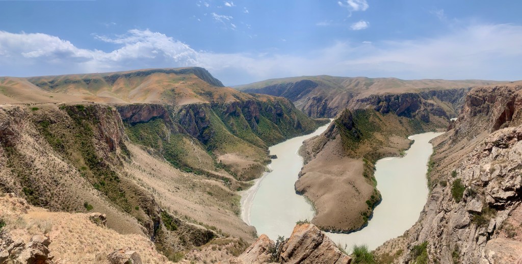
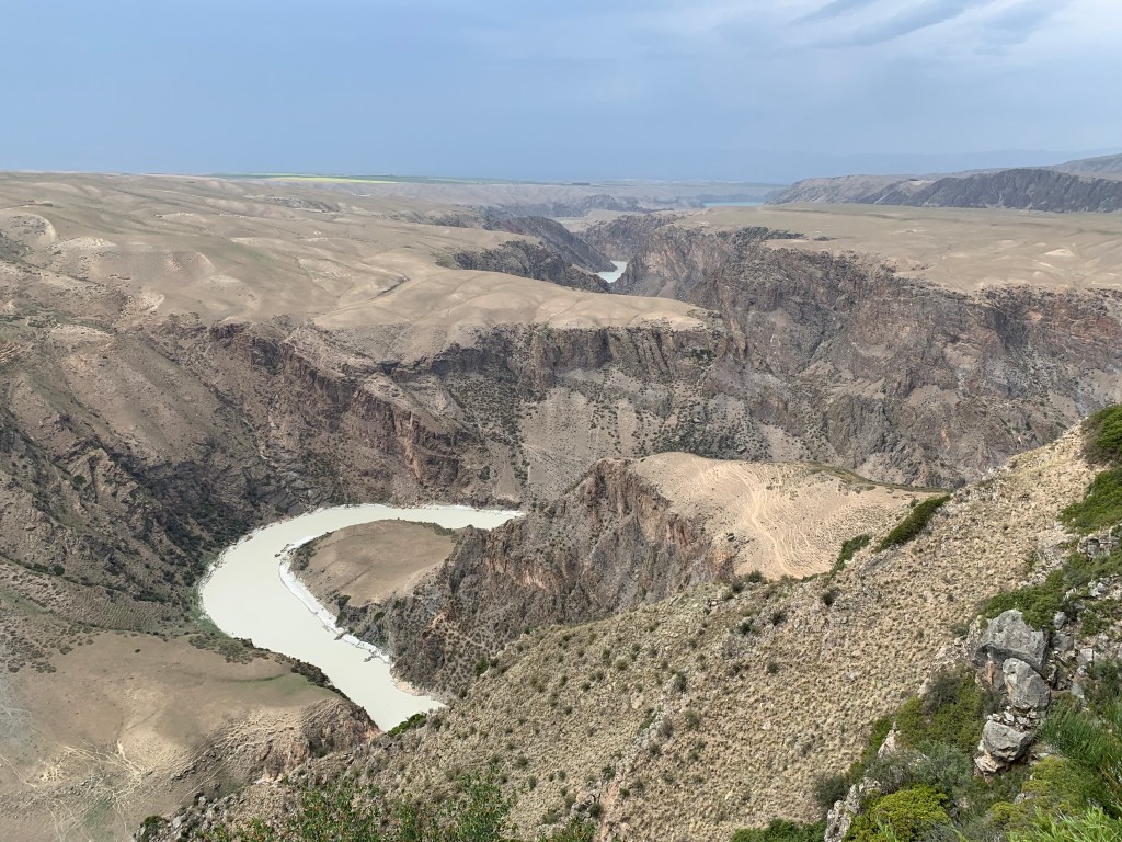
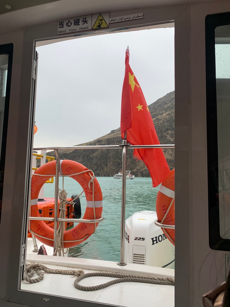
After lunch, we got back in the shuttle to head to our next park of the park: the 阔克苏大峡谷 Kuokesu Grand Canyon Scenic Area. It will become important later in this story that you know: this section of the park is separated from the Grassland by a river. Getting from one to the other requires crossing a river – in one direction, as we first did when crossing over, via a small cable car. To get back to the main section, where the entrance and parking lot is, you need to take a small ferry back across the lake. Just… keep that in mind. Cool.
As we explored the Kuokesu Grand Canyon, it was amazing to see the difference in landscape. Our first stop was to see 阔克苏大峡谷 Crocodile Bay! By this point, most of the people in my group were tired and did not want to climb the many stairs leading down to see the bay, so we didn’t stop for very long, but I could not imagine coming all this way and just….not….seeing things, so while everyone else waited up by the bus, the guides and I trekked down to get a quick look. Though it’s apparently named Crocodile Bay because the water on either side is supposed to look like two crocodiles, personally I think the piece of land in the middle looks a bit like a crocodile floating in the pond surrounding it. Either way, I am very glad I ignored my aching leg muscles and climbed down to see it!
As we continued exploring deeper into the Grand Canyon area, we noticed that dark clouds were starting to come in. Though in theory I recognized that it would probably start raining soon, mostly I was just a bit bummed that I wasn’t able to see these beautiful views with the full sunlight and blue skies we had enjoyed for the rest of the day. Oh, Madison, you sweet summer child…


As we reached our next stop in the area, a view of some interesting-looking sand dunes, the sky very quickly grew to be dark and completely covered in clouds. The wind started picking up, so we were just going to do a quick stop: get out, see the view, take a picture, back to the van. As the resident fast-walker in the group, I was the first one to reach the view. I snapped a total of one picture (the sand dunes above!) before, suddenly, the storm hit. The wind picked up and, with it, the sand from the surrounding dunes. Our guide called for us all to head back to the shuttle buses, but it was impossible to see clearly because of the sand. The wind was so strong that walking in a straight line proved nearly impossible. Any exposed skin felt like it was being ripped apart by sandpaper. Luckily, I was smart that day and had worn my hat — I was able to pull it to one side of my face, blocking some of the sand and the wind, so that I was able to at least open my eyes enough to look down at my feet and keep walking forward.
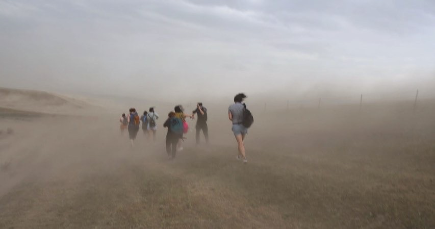
People were trying to run and take cover in the bathrooms, but we were out in this open section of the park and there were not many places we could go. As my friend and I had been the first ones out, and the fastest walkers, we were the furthest from the shuttle van when the storm hit. Which means we were the last ones to make it back to cover. Luckily, we were able to squeeze in to the front row and attempt to wait out the storm. Someone in the group had some wet wipes, so we were all able to wipe the sand off of our faces as we waited out the storm. Once the rain started pelting down, we knew we might be here a while.
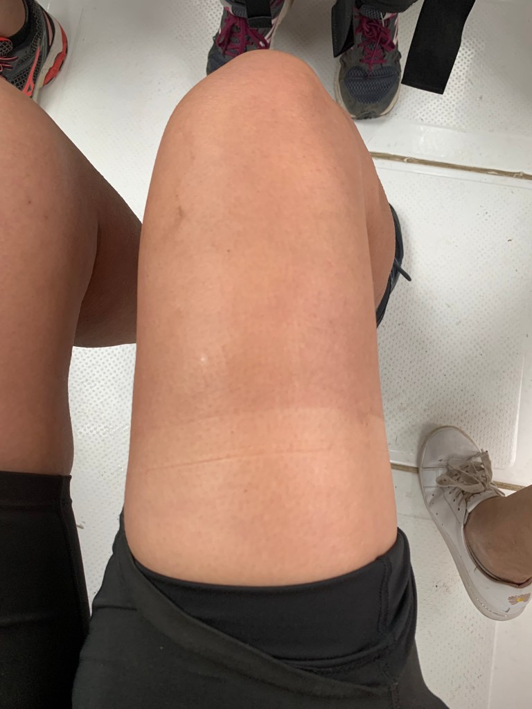
My dirt tan line

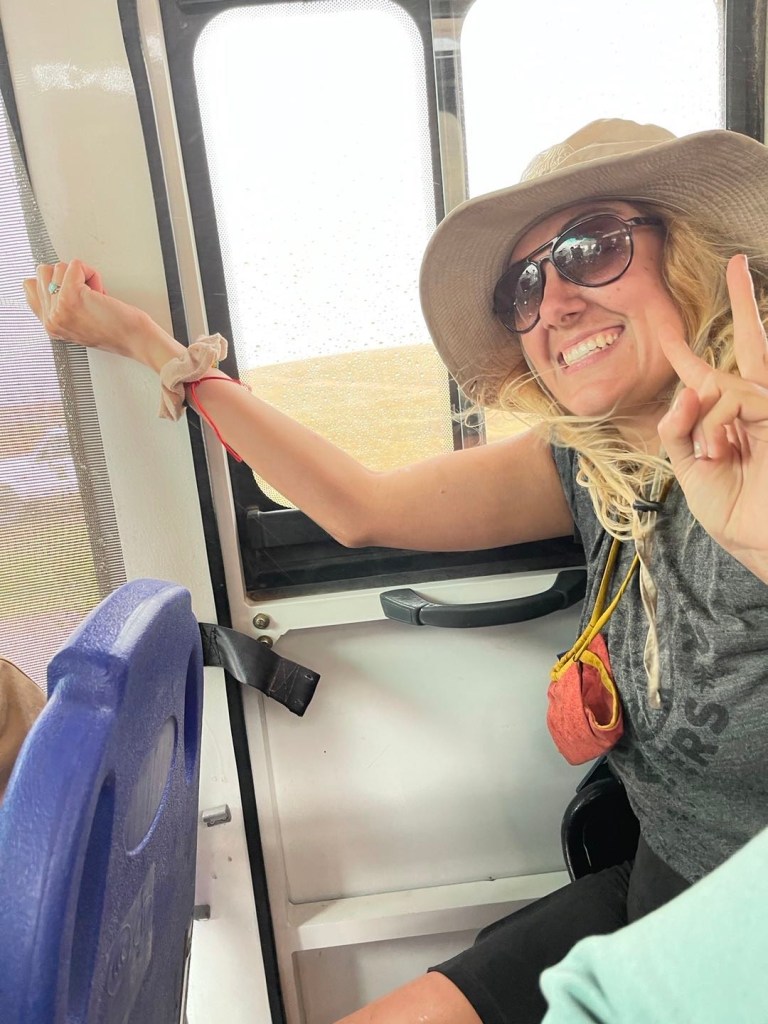
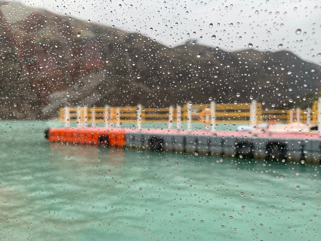
So remember what I said earlier about being separated from the main area by a river? Yeah. The only way back to the entrance of the park was across the river. And the only way to cross the river was on a small ferry, one ferry that slowly made its way back and forth from one side to the other. So once the rain eased up slightly (it didn’t stop, but we’d at least be safe to drive again) we drove down to the ferry port. Of course, so did everyone else who had been on that side of the park as well. We joined the line for the ferry, still in the rain, and waited for the 15-20 minutes it took before it was our turn to get on the boat.

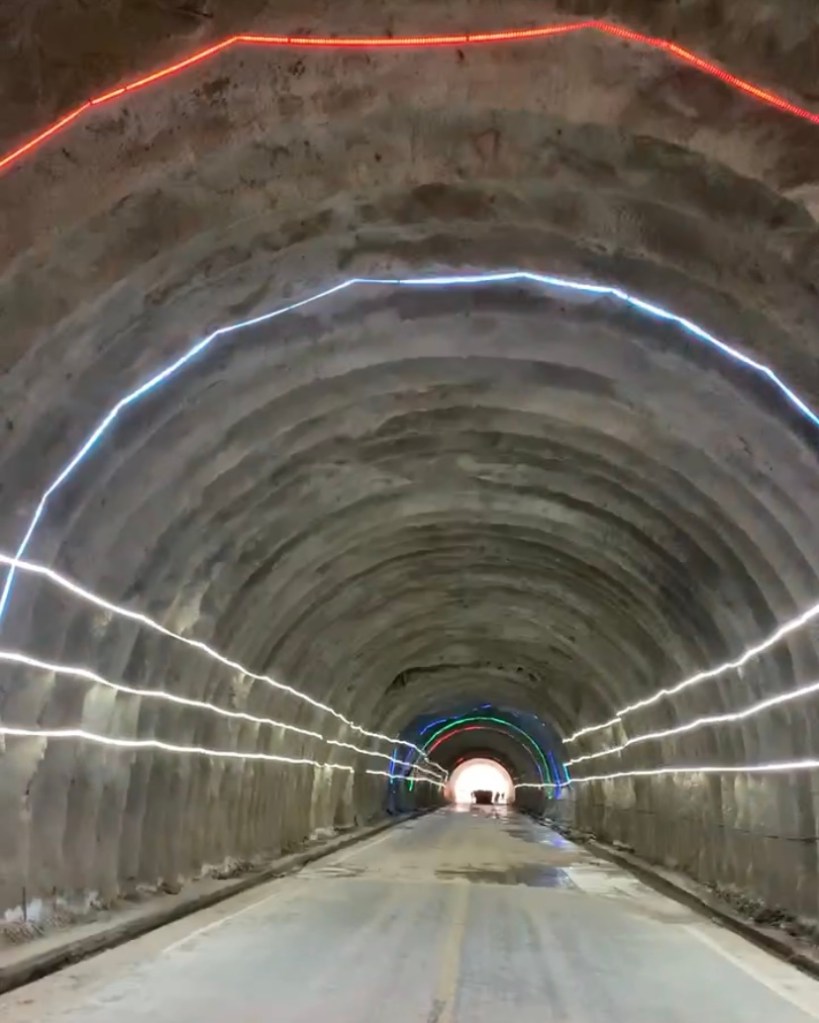
Once we got out of the boats, the next step (normally) would be to hop on the big shuttle bus that would take us back to the main entrance. But. In the height of the storm, part of the road had flooded, and so the usual shuttle bus could not get across to pick people up. Instead, they had a smaller van that was able to drive across the pool of water, and so we walked through a tunnel to find a long line of people, waiting to be driven in small groups across the water. Our guide said that the entrance was not terribly far away, that in theory in could be walked. Well, a little rainwater never scared me, so rather than wait in the line to slowly be shuttled across, we all made the decision to just walk through the pool of water. (The people in line were VERY alarmed, though some of them, after seeing us do it, also decided to brave the puddle.) I will say, at this point, I was very thankful that I wear my waterproof hiking boots 24/7 when traveling.
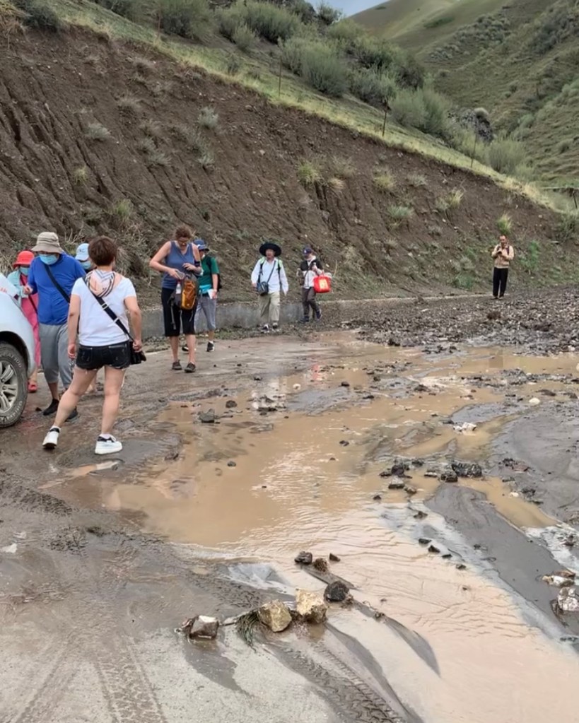
After that, we discovered that there had been a minor landslide in the storm, and so another part of the road was currently not able to be driven on. We, and the rest of the park guests, slowly started walking down the road until, finally, a bus was able to come and pick us up.
Though, all things considered, this might be considered a “bad” day, I just loved it. Things like this, unexpected mishaps or moments when you just have to stop and say “Yep, this is my life right now, nothing to be done,” are part of what makes travel so much fun. Things are going to go wrong, sometimes you just have to embrace it and laugh. Getting stuck in the middle of an epic sand/rain storm absolutely solidified the fact that this was a day I would never forget.
Plus, my shower when we got back to the hotel that night was probably the most satisfying shower of my life.
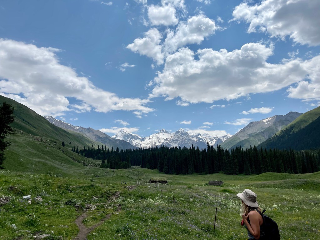
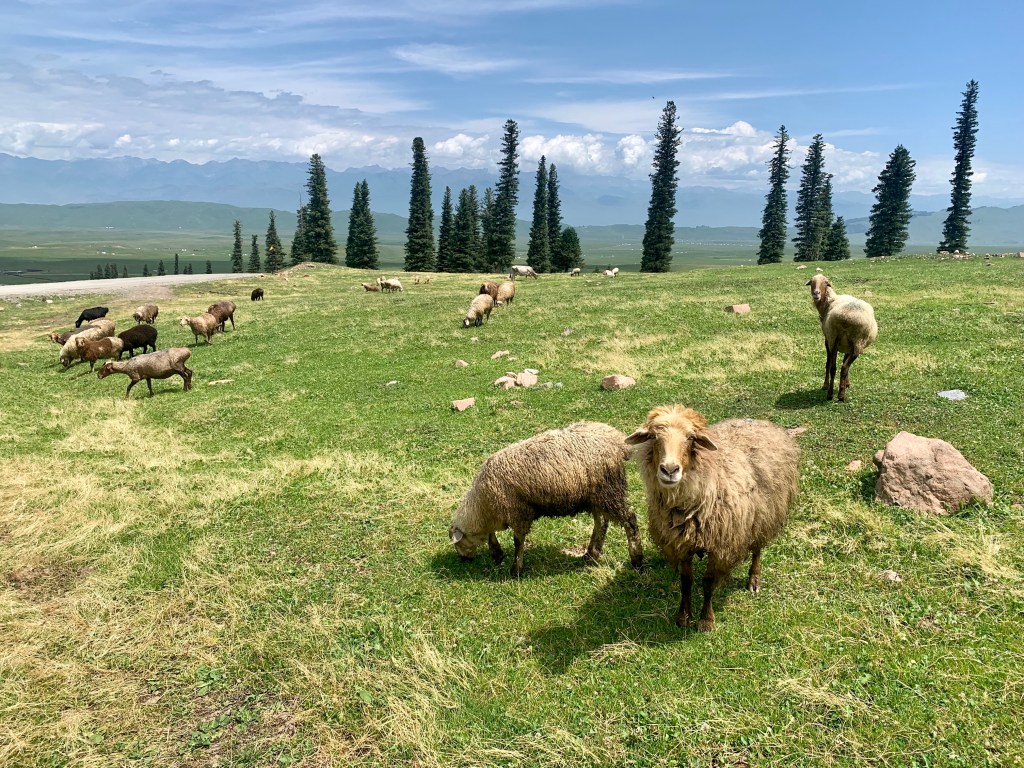
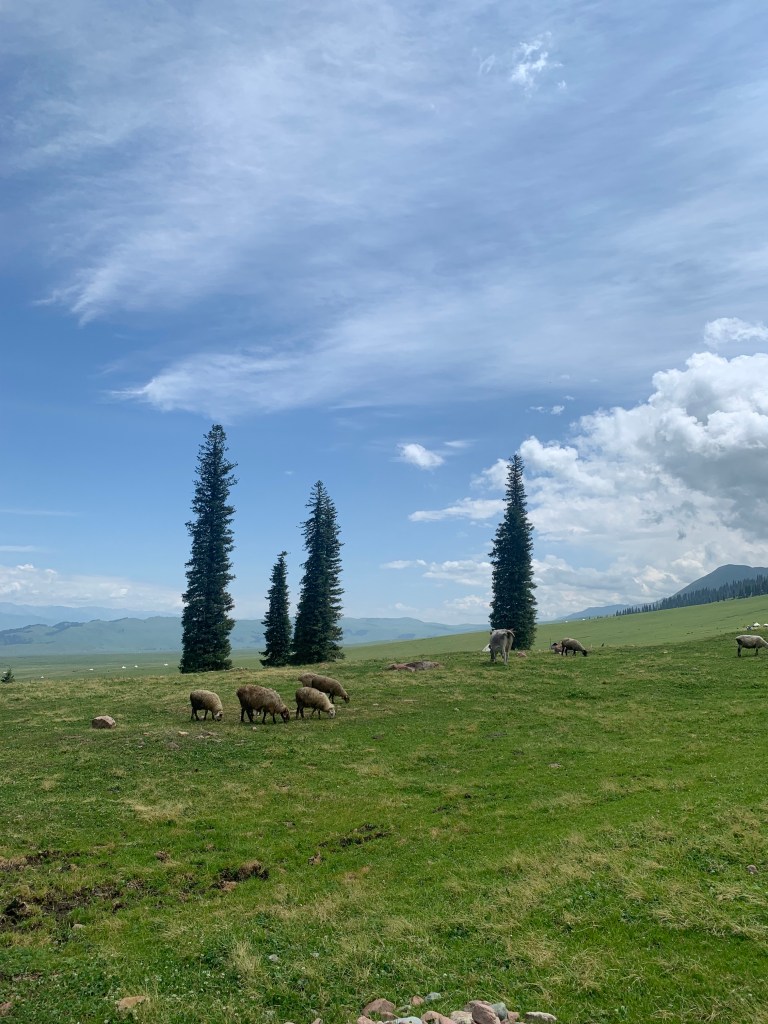
On our third nature day, after resting and refreshing from the previous day’s adventures, we had one last morning to spend in the grasslands before getting back in the van. This time, we were headed for the 那拉提草原 Nalati Grassland. Also known as the Sky Grassland because of its high altitude (averages 2,200 meters) and steep terrain, Nalati is one of the four largest grasslands in the world.
It is said that on their expedition west, Genghis Khan and his troops were making their way through snowy mountain passes, exhausted, hungry, and cold. Suddenly, when they had climbed over the mountain, they found themselves in a vast, sunny grassland filled with flowers. Overjoyed, they began to exclaim “Nalati! Natali! There is sun! There is sun!”

With a history that goes back over 3,000 years, Nalati has long been home to the Kazakh people. In fact, one tenth of China’s Kazakh minority live here! When visiting, there are small folk villages and recreations set up where you can get a sense of the traditional music, fashion, food, and customs of the Kazakh people. We stopped to watch part of a performance of a traditional Kazakh wedding ceremony!


Once in the grassland, we were given free time to do with as we chose. There was a small village with some food and small shops, and most in my tour group decided to look around there. I, however, (I’m sure you can guess where this is going?) saw a mountain and an open grassland and decided to once again see how far I could walk within the time we were given.

My guide and I walked up and out of the village along a path and ended up in a field where a herd of animals were grazing. I don’t know that we were supposed to be there, but there weren’t any signs saying otherwise. And no one stopped us. And the gate was open. So it was probably fine.
We found a small stream, a bunch of VERY cute sheep and cows, and our own little quiet spot away from the crowd. We walked around for a bit taking in the view, then sat under a tree for our picnic lunch.


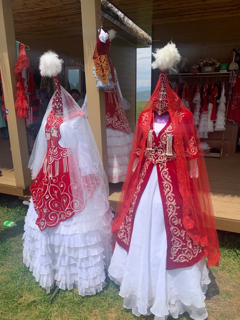
We walked back down into the village to walk around the shops for a bit. One of the big attractions were a bunch of small buildings renting out traditional Kazakh wedding costumes to take pictures in. (This is another VERY common thing here in China. If there is a pretty view, there WILL be dresses/costumes you can try on to take pictures in.) The dresses were gorgeous – big skirts, tall pointed hats, and all kinds of of bright colors and intricate patterns.
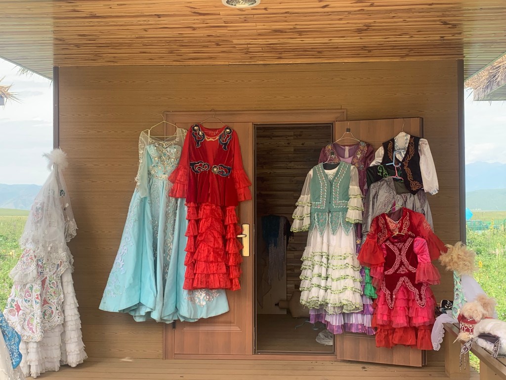
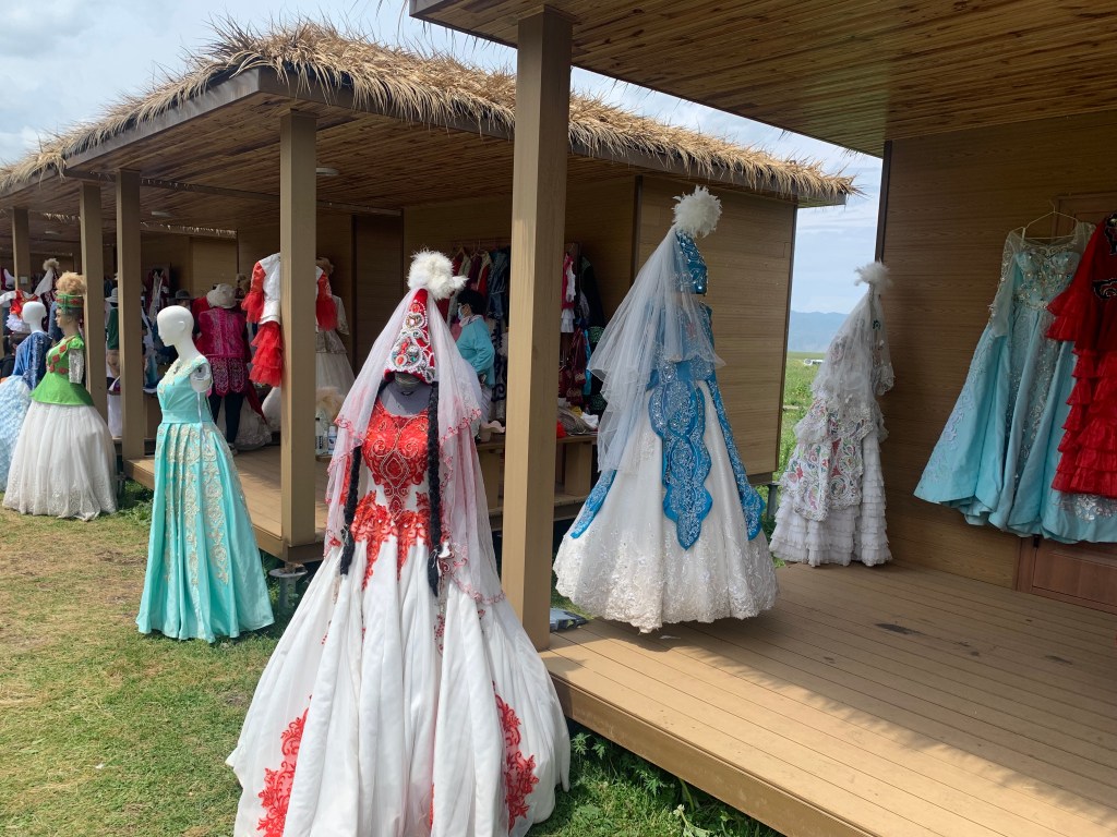
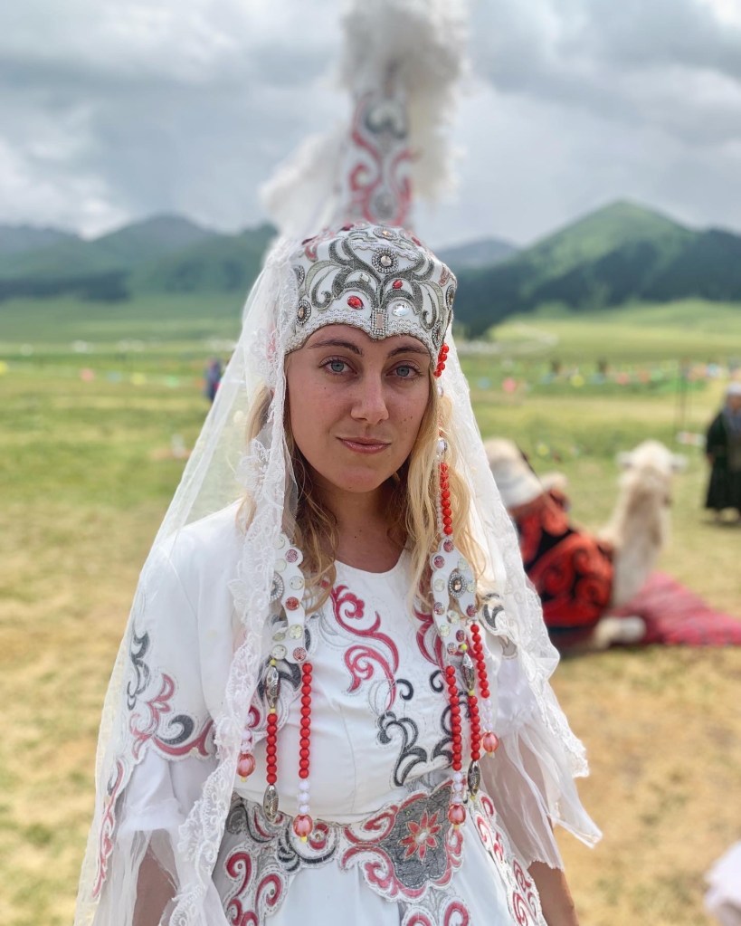
I was not initially planning on trying on a dress. I have mixed feelings on this, especially where minority cultures are concerned. I never want to be that white woman, appropriating cultures and styles for the sake of a cool picture – I walk through the world with a lot of privilege, and I always want to be aware of that. But as I have been traveling, I’ve met so many people who are so excited to share their culture, to have their fashion and customs reach other people, to feel seen by the world. As I was walking through and admiring the dresses, a young girl came up to speak to me. “What is your name?” she asked me, trying out her English, and I responded and asked her for her name. “Where are you from?” was her next question, giggling with glee at my response. “You are very beautiful. Will you try on a dress?” With that, how could I say no?
Though brides today do not necessarily still wear the traditional folk wedding gown and all of its adornments, each element of the traditional Kazakh wedding dress has a meaning and a purpose. Very few dresses were white as it was believed to be a color of mourning, rather, most dresses were vibrant shades of red, blue, green, or gold. The silhouette of the skirt creates the shape of a trapezoid, which, from what I’ve read, is symbolic in Kazakh customs and beliefs. (I can’t seem to find out why, but I’ve learned that the Palace of Independence in Nur-Sultan is also shaped like a trapezoid… so… if anyone knows anything more about the symbolism of trapezoids in Kazakh culture, please let me know!!) The dresses are composed of many layers and are typically quite modest, often with long sleeves that even cover the palms and a bodice that reaches up to the chin. The most distinguishable feature, however, is the headdress: the saukele.
A сәукеле saukele (in the Kazakh language, “sunny, beautiful” “head”) is a large, cone-shaped, richly embellished, completely unique headdress. A saukele could take over a year to prepare, and were often more expensive than an entire herd of horses. Adorned with precious stones, pearls, coral, gold and silver coins, tiny pendants, tassels, feathers, fur, and other decorations, each saukele was created to be a one-of-a-kind piece; different decorations were believed to bring about different good fortunes, such as protection from evil, wellbeing and happiness, or success in child-bearing. Additionally, different regions would have different characteristics and styles that would also be featured. The saukele often featured long, intricate beaded pendants attached to the hat that would hang down to the bride’s waist. On the day of the wedding, the bride’s father would place the saukele on her head during the ceremony, symbolizing the transition from daughter to bride. (Aside: women are more than just their relationships to men. We should all know this by now, but, a reminder just in case.) These beautiful wedding dresses have so much meaning behind them, and it was very fun to get to learn a bit more about them.
After three days in the grasslands, it was time to head off to our next area of Xinjiang, where all of my childhood Aladdin-loving dreams started to come true. Stay tuned!

